Topographical & Elevation Survey – City Centre Car Park
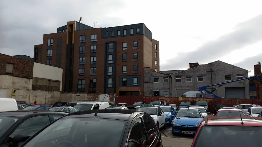
Geospatial Engineering Services Ltd was tasked with conducting a full topographical survey of a busy urban car park, including detailed elevation data of the surrounding buildings. The survey was commissioned as part of a planning submission for a proposed mixed-use development.
The scope included:
- Site layout and surface levels
- Boundaries, kerbs, manholes, and drainage features
- Elevation details of all adjacent buildings and structures
Challenges & Approach
The site was active and subject to traffic and public access during survey hours. Our team managed this by working in phases, coordinating with local authorities, and using total station equipment with reflectorless technology to capture elevation data from safe distances.
Outputs Provided
- Topographical site plan (DWG + PDF)
- Elevation drawings of all perimeter buildings
- Contour map with annotations for planning use
We also geo-referenced the survey to the Ordnance Survey National Grid, ensuring consistency with local authority requirements.
Project Value
The high-quality outputs provided architects and planners with a complete picture of the existing site. The data supported design decisions regarding building massing, sight lines, drainage layout, and site access — significantly reducing time in the early planning stages.