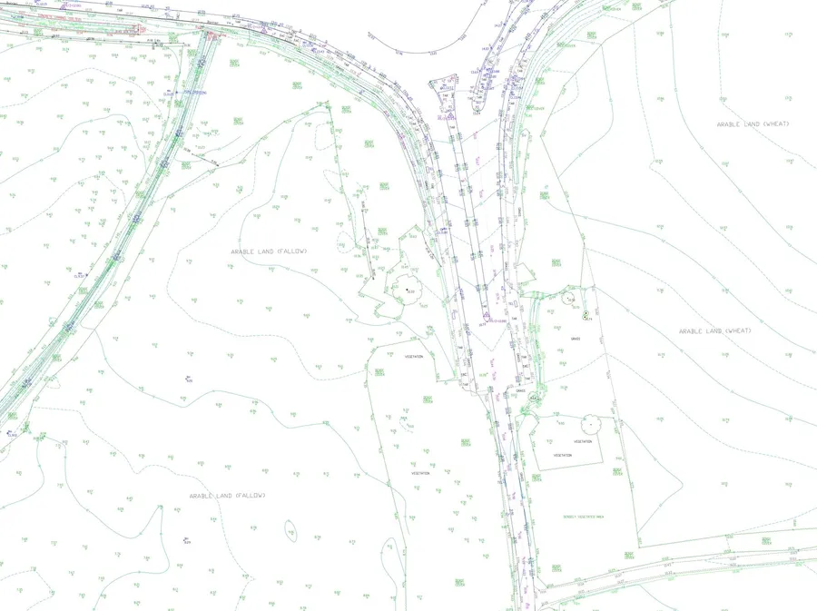
Precision Mapping for All Types of Sites
We provide quality, fully-detailed topographical surveys using both traditional Total Stations and advanced GPS equipment. Whether your project is residential, commercial, or infrastructure-based, our surveys are tailored to meet the needs of architects, engineers, and planners.
From small plots to large-scale developments — we deliver clear, reliable mapping on time and on budget.
Typical deliverables include:
- CAD files (DWG, DXF – 2D/3D)
- MOSS Genio, PDF, LSS, Carlson, and ASCII XYZ
- Scaled hard copies and annotated plans
What’s typically included?
- Ground levels and contours
- Building footprints
- Boundary lines and fence details
- Roads, kerbs, paths and driveways
- Services and drainage covers
- Trees, walls, steps and other visible features
Our surveys are tied to the National Grid and Datum using survey-grade GNSS systems for full geospatial referencing.