Reliable detection and mapping of buried services.
Geospatial Engineering Services Ltd provides a full range of mapping and underground services detection in advance of construction activities. Whether you need a few quick borehole location scans or detailed mapping for a major project, we bring decades of experience and the latest equipment to every job.
From small housing plots to major infrastructure works — we get it right first time, every time.
We have experience in Underground Services mapping for:
- Highways and motorways
- Housing, Office and School building projects
- Pipeline corridors
- New services and drainage installations
- Chemical Plants
Additional Services Include:
- Scanning for ground anomalies (fissures etc..) using Ground Penetrating Radar
- Borehole & trial-pit clearance surveys
- Procurement of “Stats” (Statutory Undertakers) Search Reports
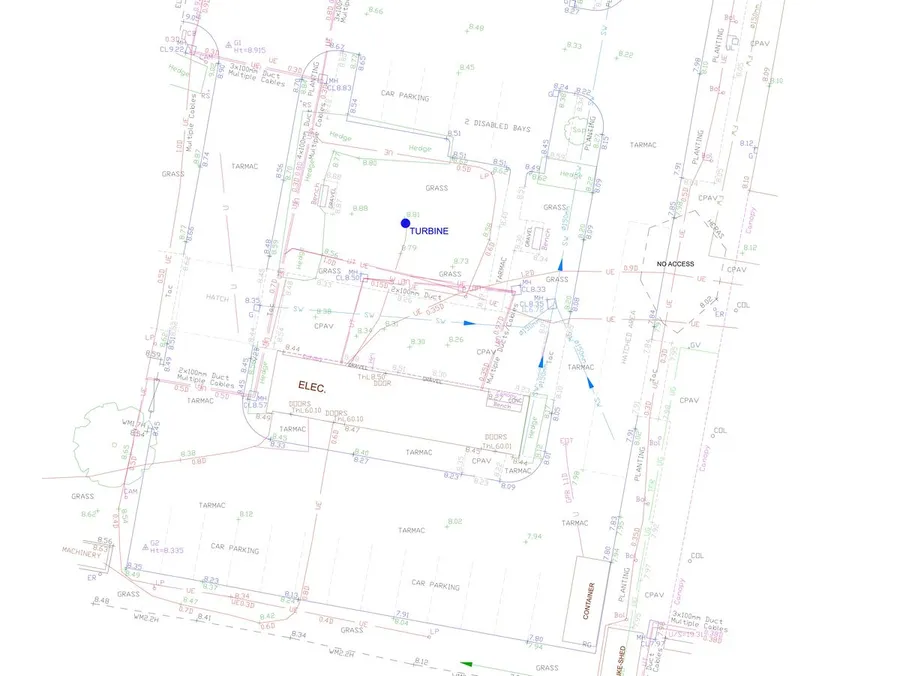
All work is backed by clear documentation and CAD drawings, with accurate referencing to National Grid and Datum.