Our Projects
Below is a selection of recent work completed by Geospatial Engineering Services Ltd Ltd, ranging from land and building surveys to laser scanning and engineering support.
We’ve successfully delivered hundreds of projects across the UK — supporting architects, engineers, developers, and contractors with clear, accurate data that drives decision-making.
Can’t see what you’re looking for? Get in touch — we’ve probably surveyed something just like it.
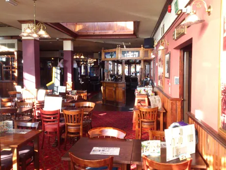
Full Measured Building Survey – Public House
Measured Building Survey
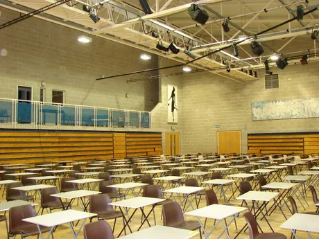
Internal Laser Scan – School Building
Laser Scanning
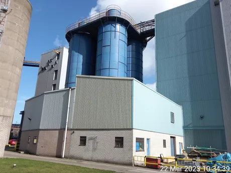
Silos Survey – Scaffolding Feasibility Study
Engineering Survey
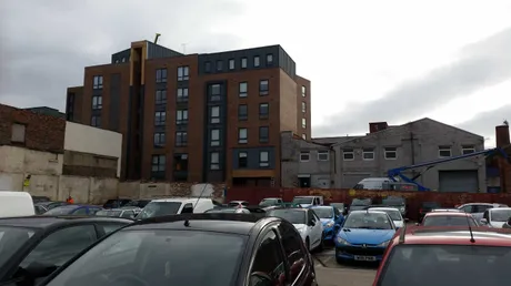
Car Park Topographical & Elevation Survey
Land Survey
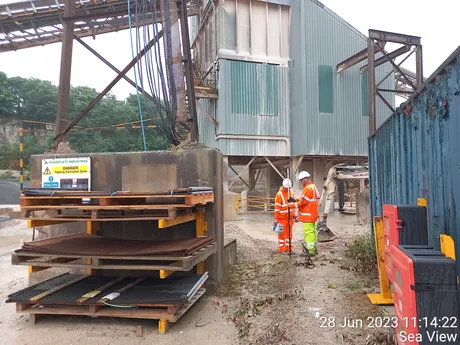
Quarry Plant Areas Surveys
Industrial Land & Services Survey
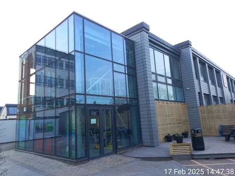
Measured Building Survey - College Buildings
Measured Building Survey

Detailed Mapping – Stately Home & Gardens
Heritage Survey
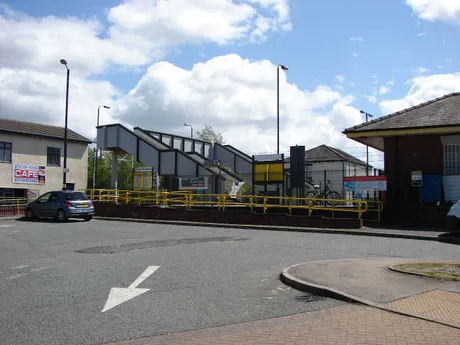
Railway Station Topographical Survey
Transport Infrastructure
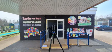
Laser Scan – School Buildings
Laser Scanning