Full Topographical Survey – Railway Station Site
Geospatial Engineering Services Ltd was contracted to carry out a comprehensive topographical survey of a regional railway station and its surrounding areas. The survey formed part of a planned access improvement and infrastructure upgrade scheme.
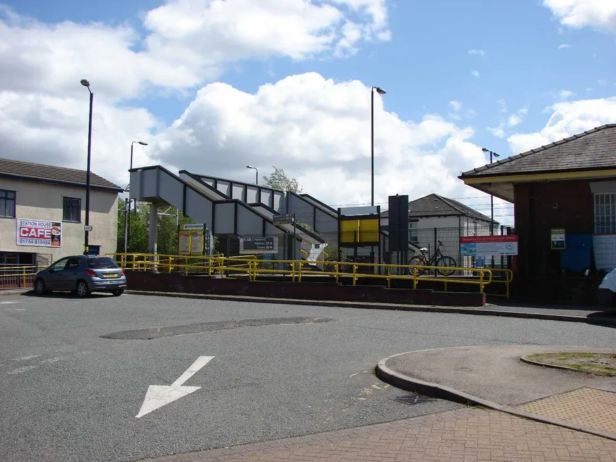
Areas Surveyed
- Main passenger platforms (edge, surface, and canopies)
- Adjacent car parking and drop-off zones
- Pedestrian pathways and road approaches
- Trackside clearances and boundary positions
On-Site Considerations
Working in a live rail environment, our team adhered to all health & safety and permit-to-work protocols. Surveying was conducted during off-peak hours and in coordination with station management to minimise disruption.
We utilised:
- Topcon total stations for precision layout work
- GNSS receivers for open-area geo-referencing
- Reflectorless instruments to safely measure across live tracks
Deliverables
- Detailed topographical site plan in DWG and PDF formats
- Annotated levels, kerb lines, access points and gradients
- Utility and drainage features mapped for design planning
Result
The engineering team used our outputs to design platform modifications, new signage placements, and reconfigured access routes — streamlining the approval process and ensuring works could proceed with confidence in the survey data.