Surveying Plant areas of a quarry
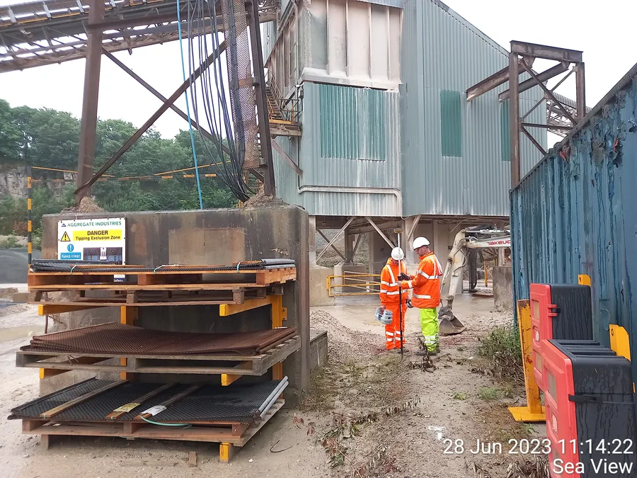
Geospatial Engineering Services Ltd was engaged to carry out surveys within a large quarry aggregates area.
The primary objective was to precisely map the Plant and detect any buried services.
Scope of Work
- Carry out Topographical Survey of the operational Plant areas
- Scan for underground assetts using Radiodetection and GPR methods to PAS128-B(QL-B1) standard
- Map all findings on National Grid and Datum
Techniques Used
We used a mix of:
- High-precision GPS/GNSS rover to establish site Control on National Grid and Datum
- Total station measurements from fixed control points
- IDS Opera Duo Ground Penetrating Radar (GPR) scanning at 250&700 MHz simultaneously, at depths up to 3m
- Radiodetection RD8000 PDL and signal generator scanning in radio, power and various frequency modes.
- Chamber surveys, recording invert level on outlet, pipe diameters, direction of flow and effluent type.
- Proving connectivity between sewer chambers either by GPR, sound, dye-trace or sonde-trace.
All work was performed under tight scheduling windows between heavy vehicle movements.
Deliverables
- Fully detailed 2D plan in CAD (.dwg) showing surface and sub-surface features.
Impact
These surveys ensured accurate mapping — critical for avoidance of potential damage to buried services. The client was able to design Plant area changes with full confidence in the mapping provided.