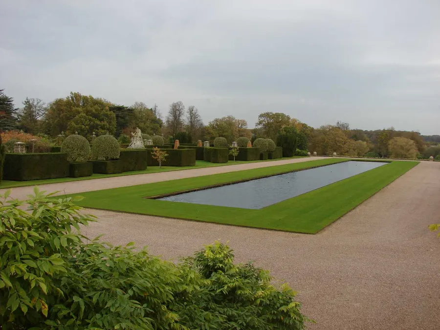
Detailed Survey of Historic Estate Grounds
Geospatial Engineering Services Ltd was tasked with performing a full topographical and gardens survey of a stately home and its surrounding landscaped gardens. The project supported ongoing landscape planning and tree planting schemes.
Scope of Work
- Map all garden features: walls, paths, statues, fountains, planting beds
- Survey main house facades and architectural elements
- Capture contours and terrain levels throughout the grounds
- Provide geo-referenced CAD outputs for the estate landscape architect and the head gardener
Tools & Techniques
- Total stations and GNSS systems for terrain and layout
- On-site control network tied to Ordnance Survey National Grid
Particular care was taken to avoid disturbance to sensitive landscaped areas and ornamental features.
Deliverables
- Topographical site plans with layered detail in both CAD and PDF
Outcome
Surveys were carried out over a number of visits as attention was drawn to each area by the landscape architect. Plans were delivered with exceptional accuracy and visual clarity, allowing the estate to proceed with design and phased planting with confidence. The data is now part of the site’s long-term digital archive.